Here’s a portfolio of online maps that I’ve made or significantly contributed towards. I’m particularly fond of slippy maps and urban areas where people and infrastructure interesect and how they are represented.
Online slippy maps, which offer multiple zoom levels, gives the cartographer, to create visualizations from multiple perspectives (if they so desire) and enable the map reader to see an area in multiple ways that they haven’t imagined.
I primarily use mapbox.js and leaflet for the map interaction. For the map design, I’ve used a combination of tools: TileMill, Mapbox Studio, Carto, and Tangrams by Mapzen. The source code for these are all available, as indicated in the links below.
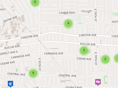
A interactive map of Cuyahoga County Food Pantry and Hot Meal sites. Designed for food pantry managers to refer those in need of food to nearby resources based on their location. Base Map designed by Mapbox.
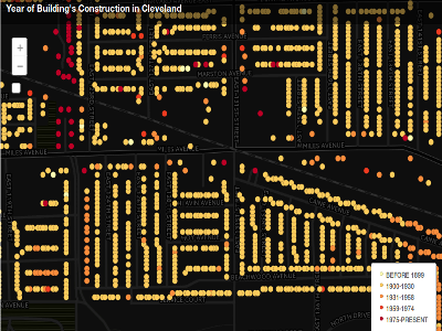
View The Cleveland Building Ages Map - code
A map displaying Cleveland’s Building Ages. The black base map was designed by Carto.

A Halloween-themed experimental map of spooky places. This is intended to give an aesthetic Utilizes regular expressions in Mapbox Studio.

A simple, muted stylesheet designed for base maps. Uses pastel colors.
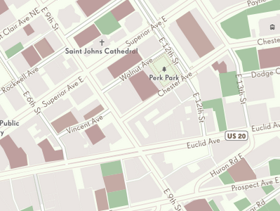
Downtown Cleveland’s Public Parking Map; Without any current open data of public parking lots in downtown Cleveland, I manually surveyed them. I’ve uploaded my data to OpenStreetMap.
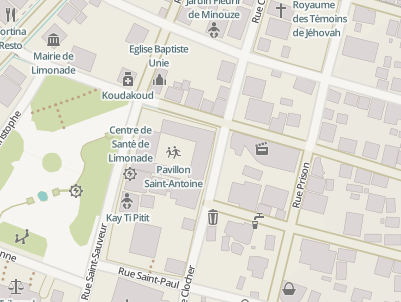
Assisted in development and design of HOT (Humanitarian OpenStreetMap Team) Base Map designed for Humanitarian contexts during HOT mission in Haiti, Spring 2013. Featured on Openstreetmap.org
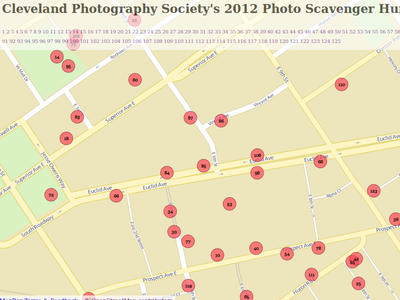
View the 2012 Cleveland Photography Society Scavenger Hunt Map - code
Given 125 small photos, participants sought to replicate each photo in Downtown Cleveland. This map reveals where the all 125 photos were taken. Made in late 2012. Made with Imposm, Tilemill, and mapbox.js.
All maps feature data from © OpenStreetMap contributors